|
|
[China]

Trade Verify
Address: 4F, Building D, Tianyi plaza No.8 West Maodianshan Road, East Lake Hi-tech Zone Wuhan City, China
Contact name:Lanbooxie

Wuhan Geosun Navigation Technology Co., Ltd |
|
Verified Suppliers
|
|
|
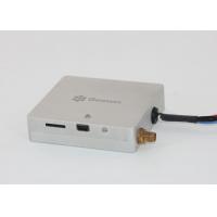
AGS 213 Receiver
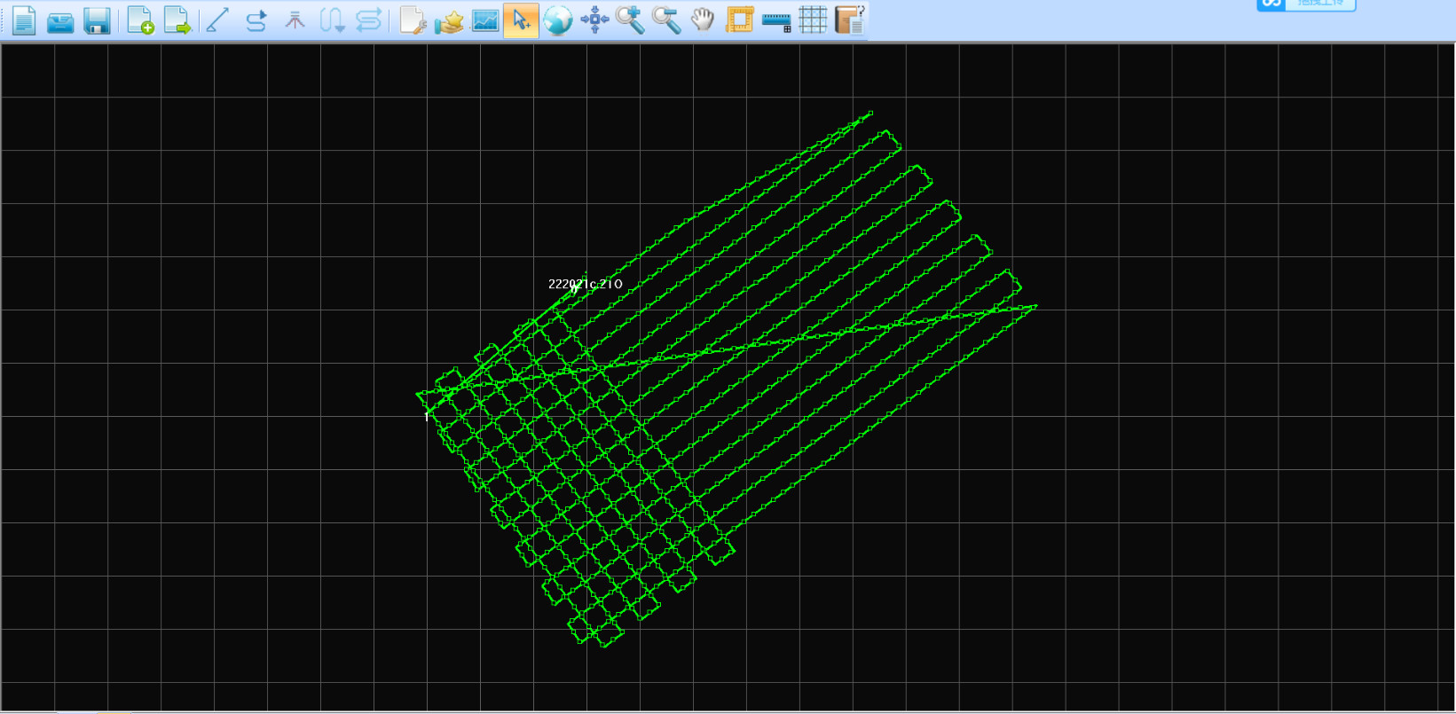
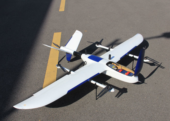
PPK Instruments Application for Photography Surveying & Mapping
High-performance aerial GNSS receiver
AG213 series is manufactured by Geosun spatial, and specialize
in the aerial application with low power consumption and
high‐performance GNSS receiver, elaborate design,easy to
carry and take the high‐accuracy GNSS OEM motherboard, the
surveying data with the highest level of
quality assurance, support the simultaneous input of the three
different format: GPS,IMU and optical-electricity encoder, it
can be still continuous and effective working in the period
while GPS was losing the lock.
AG213 based on the stable and reliable.
AG213 based on the stable and reliable Linux system, built-in
high-performance embedded microcontroller processor, can reach
to the 20Hz of the data sampling rate, also equipped with
several Parallel receiving channels, Maximum track and observe all
the visible GNSS satellite signal, include the signal of
BeiDou,GPS,GLONASS and the SBAS signal from WAAS ect.
Features
Light and flexible aviation GNSS positioning receiver
GGPos GNSS dynamic data processing software
Reduce more than 80% of the control point
Provide work efficiency
Enhance the safety of the field
Specification
| Tracking Signal | GPS: L1 C/A code, L2 C, L1 / L2 ; |
| BDS:B1, B2a, B3 | |
| Galileo: E1,E5B | |
| GLONASS: L1 C/A and P code, L1 /L2 , L2 P code | |
| Processor | STM32F407 |
| Build-in RAM | 8 GB Byte EMMC |
| Build-in flash | 8 GB data flash; 1 GB nand flash |
| SD card storage | Max support up to 32 GB |
| Update rate | Default update rate 20 Hz |
| Storage format | Geosun format |
| Indicator : | 2 LED indicators, same function, indicate GNSS signal and power |
| PW/EVENT/PPS/RS232 | One lemon 9 pin interface, use for power input, data input/output and communication with PC |
| Antenna interface | One external antenna interface |
| Mini usb interface | One mini USB port |
| Micro SD card slot | One micro SD card slot |
| Power consumption (w) | 3.2 |
| Dimension (mm) | 66 * 60 * 17 |
| Working Circumstance | Working temperature :- 20 ºC-- 60 ºC |
| Storage temperature: - 40ºC-- 80 ºC |
Application for Photography

Kinematic differential Positioning