|
|
[China]

Trade Verify
Address: 4F, Building D, Tianyi plaza No.8 West Maodianshan Road, East Lake Hi-tech Zone Wuhan City, China
Contact name:Lanbooxie

Wuhan Geosun Navigation Technology Co., Ltd |
|
Verified Suppliers
|
|
|
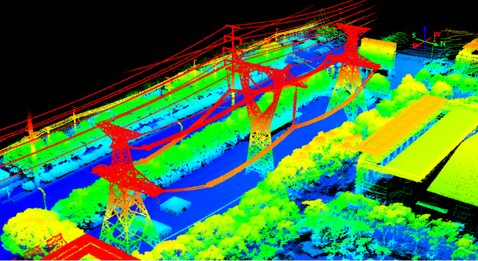
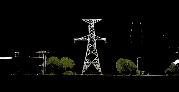
GS-260F LiDAR Scanning System HESAI Pandar 40P Versatile Application RTK Model Power Line
Geosun gAirHawk Series GS-260F LiDAR Scanning System
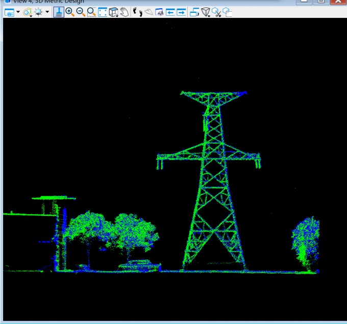
GS-260F LiDAR scanning system is an UAV measurement system independently developed by Geosun company. It highly integrates laser scanner, GNSS satellite positioning system, INS inertial navigation system and camera(built-in), and can quickly obtain high-precision laser point cloud number. It can be widely used in Power line,Digital city construction, Industry, Land survey, Forestry and Agriculture.
Specification of LiDAR Scanning System gAirHawk GS-260F
LiDAR Scanning System gAirHawk GS-260F | ||
| Item Name | System Parameters |
Parameters | Weight | 2.1 kg |
Measuring accuracy | Less than 0.1m @150m | |
Working temperature | -20℃~+65℃ | |
Power range | 12 V- 24 V | |
Consumption | 10 W | |
Carrying Platform | DJI M300, M600, GS-800, GS-850....... | |
Storage | 64 GB storage, maximum support 128GB TF card | |
Lidar Unit
| Measuring Range | 230m@10% Reflectivity |
Laser class | 905nm Class1 (IEC 60825-1:2014) | |
Channel | 40-Channel | |
Range accuracy | ±2cm (typical Value) | |
Scanning frequency | 10HZ, 20HZ | |
Data | Double echo 720,000 Points/Sec | |
FOV | 360°, adjustable | |
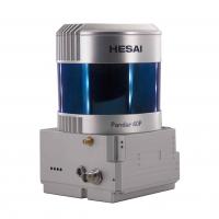
Laser sensor | HESAI Pandar40P | |
POS Unit | Update frequency | 200HZ |
Heading accuracy | 0.017° | |
Pitch accuracy | 0.005° | |
Rolling accuracy | 0.005° | |
Position accuracy | ≤0.05m | |
GNSS signal type | GPSL1/L2/L5 GLONASSL1/L2, BDS B1c/ B1/B2/B2a/B3 GAL E1/E5a/5b | |
Pre-processing software | POS software | Output information: position, speed, attitude |
Point cloud software | Output point cloud data format: LAS format, custom TXT format | |
Camera (built-in) | Effective Pixel | 26 Mega Pixels |
Focal Length(mm) | 16 | |
| FOV | 86-Degree | |
Applications LiDAR scanning system GS-260F (RTK Model)
Free Trial Software UAV LiDAR Scanning System gAirHawk GS-260F
Free trial test, achieve high precision
The Guideline of LiDAR Usage and Reference.pdf
Point Cloud Pre-Processing Software Integrated With Trajectory
Processing----Geosun Self-developed gAirHawk 5.0
Key Features of gAirHawk 5.0 Software
1. Raw data: intelligently load
2. Four default coordinates
3. Point cloud Optimization
4. Start and stop calculation


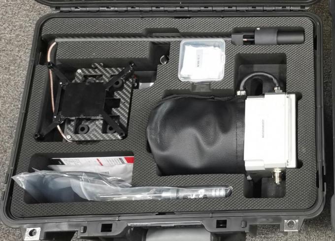
Package LiDAR Scanning System gAirHawk GS-260F
LiDAR Scanning System gAirHawk GS-260F is packed by suit case with EVA material liner inside, then covered by hard carton box. It is suitable for air shipment and sea shipment.