|
|
[China]

Trade Verify
Address: 4F, Building D, Tianyi plaza No.8 West Maodianshan Road, East Lake Hi-tech Zone Wuhan City, China
Contact name:Lanbooxie

Wuhan Geosun Navigation Technology Co., Ltd |
|
Verified Suppliers
|
|
|
gAirHawk GS-260S UAV LIDAR SCANNING SYSTEM
Drone LiDAR Scanning System Application for Mapping and Survey with DJI Drone
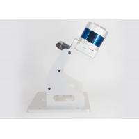
gAirHawk GS-260S is a kind of Mid-range, compact LiDAR point cloud data acquisition system, integrated HESAI Pandar laser scanner, GNSS and IMU positioning and attitude determination system, and storage control unit, is able to real-time, dynamically, massively collect high-precision point cloud data and rich image information. It is widely used in the acquisition of 3D spatial information in surveying, electricity, forestry, agriculture, land planning.
Pandar20B 20-Channel Mechanical LiDAR

Specification
| gAirHawk GS-260S | ||
| Item Name | System Parameters | |
Parameters | Weight | 1.9 kg (without camera) |
| Measuring accuracy | 0.1m/0.05m(@150m) | |
| Working temperature | -20℃~+60℃ | |
| Power range | 12 V- 24 V | |
| Consumption | 20 W | |
| Carrying Platform | DJI M300, M600 PRO | |
| Storage | 64 GB storage, maximum support 128GB TF card | |
Lidar Unit
| Measuring Range | 0.3m-200m@10% Reflectivity |
| Laser class | 905nm Class1 (IEC 60825-1:2014) | |
| Laser line number | 20-Beam | |
| Max. range | 200 m | |
| Mix. range | 0.3 m | |
| Range accuracy | ±5cm (@0.3m~5m), ±2cm (@0.5m~200m) | |
| Scanning frequency | 10HZ, 20HZ | |
| data | Double echo 720,000 Points/Sec | |
| FOV | 360°, adjustable | |
| Laser sensor | HESAI Pandar 20B | |
| POS Unit | Update frequency | 200HZ |
| Heading accuracy | 0.017° | |
| Pitch accuracy | 0.005° | |
| Rolling accuracy | 0.005° | |
| Position accuracy | ≤0.05m | |
| GNSS signal type | GPSL1/L2 GLONASSL1/L2 BDS B1/B2a/B3 | |
| GNSS Motherboard | OEM 719 | |
| IMU | AGS 303 | |
| Pre-processing software | POS software | Output information: position, speed, attitude |
| Point cloud software | Output point cloud data format: LAS format, custom TXT format | |
| Camera (option) | Camera Model | Sony RX1/a 6000 |
| Effective Pixel | 42/24 Mega Pixel | |
| Trigger event | Distance or Time trigger | |
| Weight (g) | Less than 600/300 | |
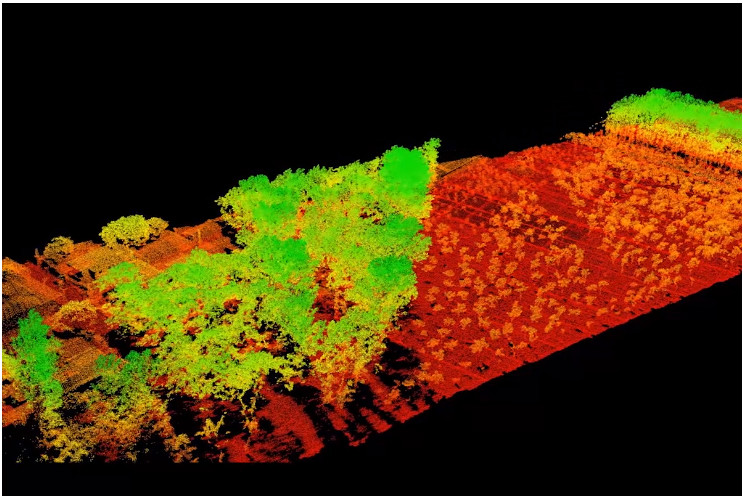
Application for Forestry
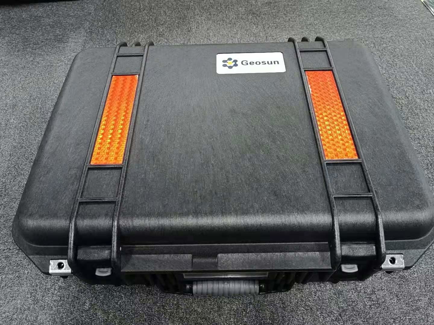
Package
It is packed by suit case with EVA material liner inside, then covered by hard carton box. It is suitable for air shipment and sea shipment.