|
|
[China]

Trade Verify
Address: 4F, Building D, Tianyi plaza No.8 West Maodianshan Road, East Lake Hi-tech Zone Wuhan City, China
Contact name:Lanbooxie

Wuhan Geosun Navigation Technology Co., Ltd |
|
Verified Suppliers
|
|
|
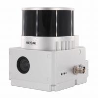
Geosun gAirHawk Sesries GS-130X LiDAR Scanning System Hesai XT32 Sensor Strong Penetration 360 Degree Fov
Geosun gAirHawk Sesries GS-130X LiDAR Scanning System
LiDAR Scanning System GS-130X integrates a Hesai XT32 laser sensor and all built-in units to create a futuristic look for your diversified LiDAR solution services.Stands out with strong penetration and small beam divergence in same uav lidar scanning system class to deliver a better performance in any vegetation areas.
Specification of LiDAR Scanning System GS-130X
| |||||||||||||||||||||||||||||||||||||||||||||||||||||||||||||||||
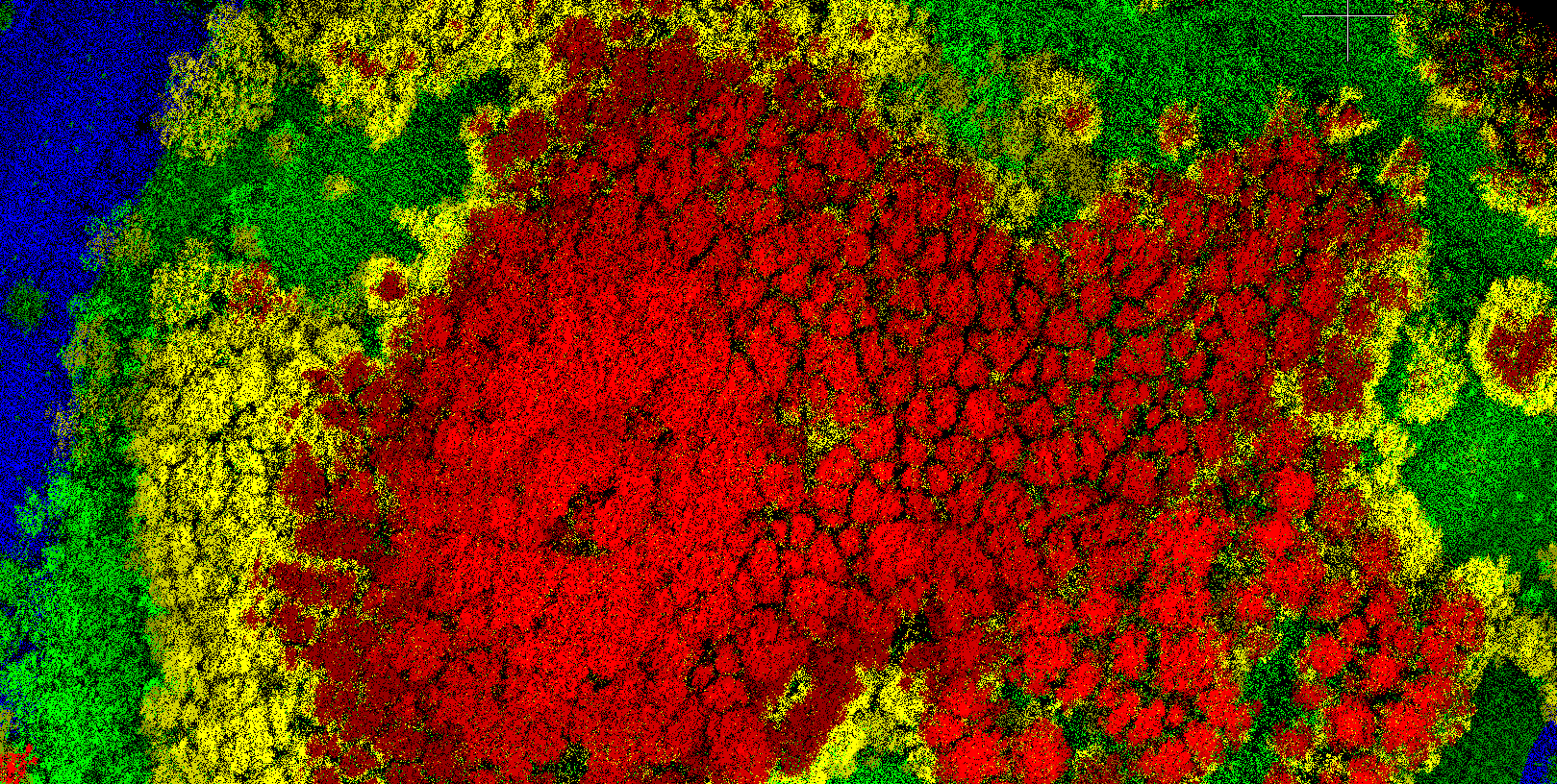
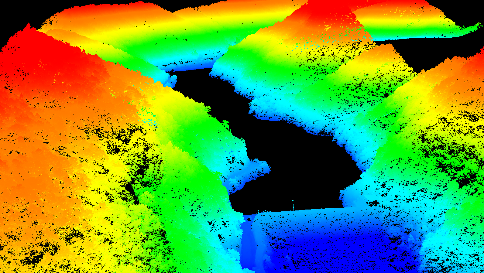
Application of LiDAR Scanning System GS-130X


Free Trial Software LiDAR Scanning System gAirHawk GS-130X
Free trial test, achieve high precision
The Guideline of LiDAR Usage and Reference.pdf
Point Cloud Pre-Processing Software Integrated With Trajectory
Processing----Geosun Self-developed gAirHawk 5.0
Key Features of gAirHawk 5.0 Software
1. Raw data: intelligently load
2. Four default coordinates
3. Point cloud Optimization
4. Start and stop calculation


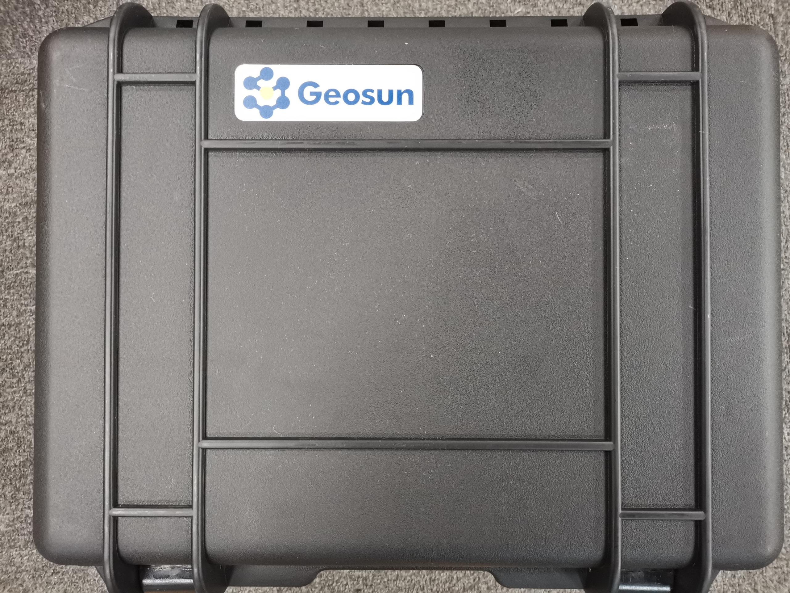
Package of LiDAR Scanning System GS-130X
LiDAR Scanning System GS-130X is packed by suit case with EVA material liner inside, then covered by hard carton box.
The pacakge of uav LiDAR scanning system is suitable for air shipment and sea shipment.