|
|
[China]

Trade Verify
Address: 4F, Building D, Tianyi plaza No.8 West Maodianshan Road, East Lake Hi-tech Zone Wuhan City, China
Contact name:Lanbooxie

Wuhan Geosun Navigation Technology Co., Ltd |
|
Verified Suppliers
|
|
|
Handheld LiDAR Scanning System Mobile Mapping Solution Geosun GS-100G Building 3D Data Collection
Geosun gFireEye Series GS-100G Handheld LiDAR Scanning System
GS-100G is a kind of handheld LiDAR scanning system independently
developed by Geosun company.It adopts a simple design with a small
body, so as to be light to carry, easy to operate and flexible to
install.With a variety of sensors, it can quickly capture a wide
range of scene data, support multi-platform and multi-mode
operation, and combine GNSS, INS, LiDAR and SLAM algorithms to
achieve seamless survey of indoor and outdoor scenes.
Geosun gFireEye Series GS-100G Handheld LiDAR Scanning System
Specification
System Parameter | |
Point Cloud Accuracy | 5cm@100m without control point |
Weight | 1.7kg(without battery) |
Battery Parameter | 4.2V 3400mAh |
Storage | Build-in Flash memory 64GB, |
Voltage Range | 12V-18V |
Dimension | 15.3*9.3*39.4cm |
Working Temperature | -20℃-55℃ |
Carrying Platform | Hand-held, Multi-rotor and Vehicle |
System Consumption | 25W |
| POS Unit | |
| Model | gSpin 210 |
| Update Frequency | 200Hz |
| GNSS Signal Type | GPS L1/L2/L5, GLONASS L1/L2 |
| Position Accuracy | Horizonal 0.02m Elevation 0.03m |
| Pitch Accuracy | 0.015° |
| Roll Accuracy | 0.015° |
| Heading Accuracy | 0.040° |
| Laser Unit | |
| Detection Range | 80m@10%,Max Range 120m |
| Range Accuracy | ±1.5cm |
| Channel | 16 |
| Horizontal FOV | 360° |
| Vertical FOV | 270° |
| Points Rates | Single echo 320,000 Points/Sec, |
| Camera Parameter | |
| Resolution | 3*5 MP |
| FOV | Horizontal 270° |
| Shooting Mode | Isochronous |
Geosun gFireEye Series GS-100G Handheld LiDAR Scanning System
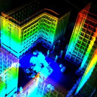
Application
A high quality LiDAR data has been collected by GS-100G handheld
lidar, the whole industry park completely present and even the
name of park can be seen very clearly.
More data can be found here https://drive.google.com/file/d/1X_ACFcPQH87pGO8y10LdEFHUvun6ht5g/view?usp=sharing


Geosun gFireEye Series GS-100G Handheld LiDAR Scanning System
Package
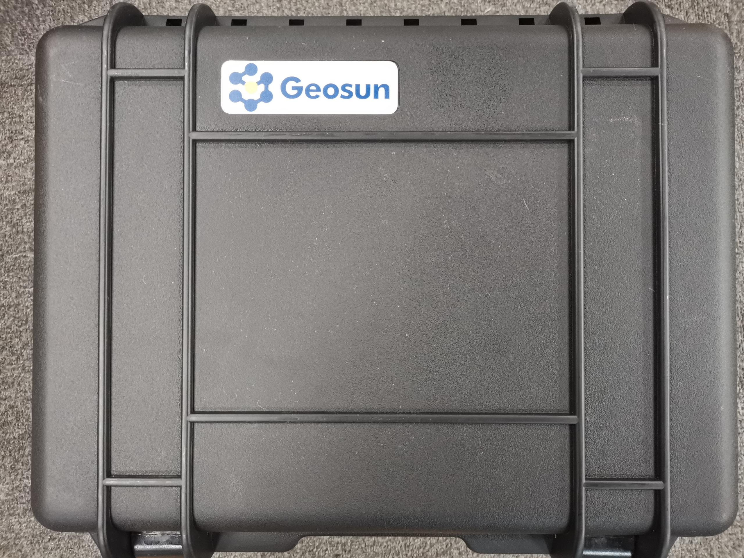
Geosun gFireEye Series GS-100G Handheld LiDAR is packed by
suit case with EVA material liner inside, then covered by hard
carton box. It is suitable for air shipment and sea shipment.