Home Companies Wuhan Geosun Navigation Technology Co., Ltd

AirPort Construction UAV LiDAR GS-260X High End Pos Built In RGB Camera

Wuhan Geosun Navigation Technology Co., Ltd

Contact Us

[China] country

Trade Verify

Address: 4F, Building D, Tianyi plaza No.8 West Maodianshan Road, East Lake Hi-tech Zone Wuhan City, China

Contact name:Lanbooxie

Inquir Now

Wuhan Geosun Navigation Technology Co., Ltd

Verified Suppliers
  • Trust
    Seal
  • Verified
    Supplier
  • Credit
    Check
  • Capability
    Assessment

AirPort Construction UAV LiDAR GS-260X High End Pos Built In RGB Camera

Country/Region china
City & Province wuhan hubei
Categories Aircraft
InquireNow

Product Details


AirPort Construction UAV LiDAR GS-260X High-End Pos Built-In RGB Camera Colored Point Cloud One Key Processing


Geosun gAirHawk GS-260X UAV LiDAR Scanning System 
gAirHawk GS-260X is a kind of middle-range, compact LiDAR point cloud data acquisition system, integrated HESAI XTM2X laser scanner, GNSS and IMU positioning and attitude determination system, and storage control unit, is able to real-time, dynamically, massively collect high-precision point cloud data and rich image information. It is widely used in the acquisition of 3D spatial information in surveying, electricity, forestry, agriculture, land planning.
For more specification please check here: gAirhawk GS-260X.pdf

 
Specification of UAV LiDAR Scanning System GS-260X

uav LiDAR scanning system gAirHawk GS-260X


Item Name

System Parameters

UAV LiDAR Scanning System
GS-260X


Weight

1.15kg

Measuring accuracy

Less than 0.1m/0.05m(@150m)

Working temperature

-20℃~+65℃

Power range

12V- 24V

Consumption

10W

Carrying Platform

GS-800, DJI M300, M600 PRO and Other brand

Storage

64GB storage, maximum support 128GB TF card

Lidar Unit
 

Measuring Range

80m@10% Reflectivity (Max 300m)

Laser class

905nm Class1 (IEC 60825-1:2014)

Channel

32-channel

Range accuracy

±1cm (typical Value)

Scanning frequency

10HZ, 20HZ

data

Trible-echo 1,920,000 Points/Sec

FOV

360°, adjustable

Laser sensor

HESAI XTM2X

POS Unit

Update frequency

200HZ

Heading accuracy

0.017°

Pitch accuracy

0.005°

Rolling accuracy

0.005°

Position accuracy

≤0.05m

GNSS signal type

GPSL1/L2/L5 GLONASSL1/L2 BDS B1/B2/B3 GAL E1/E5a/5b

Pre-processing software

POS software

Output information: position, speed, attitude

Point cloud software

Output point cloud data format: LAS format, custom TXT format

Camera(built-in)

FOV

83 Degree

Effective Pixel

26 Mega Pixel

Focal Length(mm)

16

 
Application of UAV LiDAR Scanning System GS-260X

Geosun gAirHawk GS-260X uav LiDAR scanning system takes part in airport expanding construction.


Free Trial Software UAV LiDAR Scanning System GS-260X
Free trial test, achieve high precision
The Guideline of LiDAR Usage and Reference.pdf
Point Cloud Pre-Processing Software Integrated With Trajectory Processing----Geosun Self-developed gAirHawk 5.0
Key Features of gAirHawk 5.0 Software
1. Raw data: intelligently load
2. Four default coordinates
3. Point cloud Optimization
4. Start and stop calculation


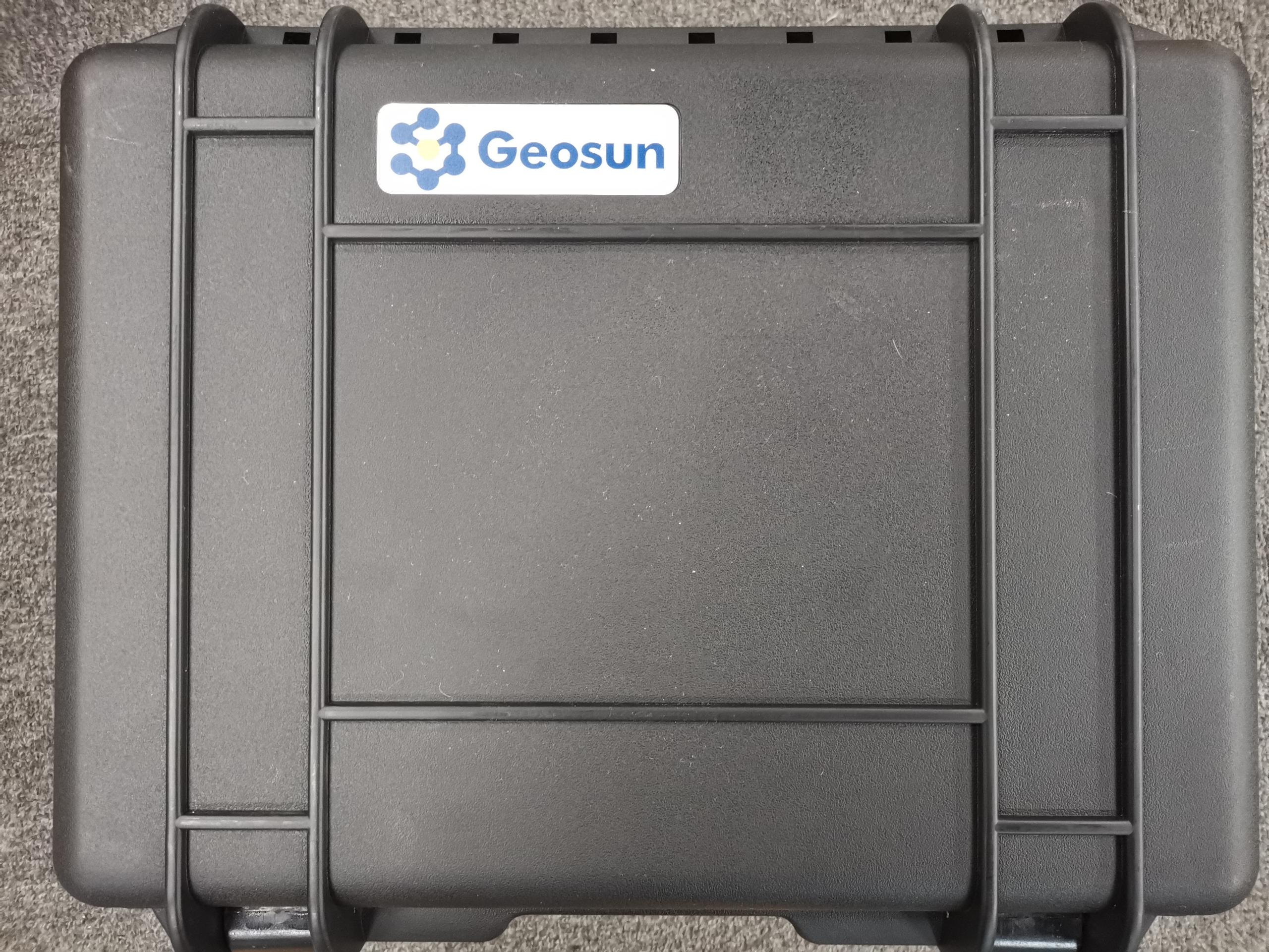
Package of uav LiDAR scanning system GS-260X

uav LiDAR scanning system GS-260X is packed by suit case with EVA material liner inside, then covered by hard carton box.
The package of uav LiDAR scanning system is suitable for air shipment and sea shipment.


Hot Products

Geosun GAirHawk Series GS-1500N LiDAR Scanning System 8 Echos Long Detection Aerial VTOL Mapping ...
Multi-Rotor Drone Application for Mapping & Survey The GS-850 is designed specifically for ...
Product Description: The UAV LiDAR System is a commercial drone surveying solution designed to ...
AirPort Construction UAV LiDAR GS-260X High-End Pos Built-In RGB Camera Colored Point Cloud One Key ...
Aerial Mapping GS-100V UAV LiDAR Scanning System 360 Degree Fov Laser Sensor Colored Point Cloud ...
Terrain Mapping Aerial Surveying Geosun UAV LiDAR GS-130X High Precision Cost-Effective Cost Highly ...