Home Companies Wuhan Geosun Navigation Technology Co., Ltd

GS-260F RTK Model Drone LiDAR Scanner HESAI Pandar40P Multi Platform Free Trajectory Processing

Wuhan Geosun Navigation Technology Co., Ltd

Contact Us

[China] country

Trade Verify

Address: 4F, Building D, Tianyi plaza No.8 West Maodianshan Road, East Lake Hi-tech Zone Wuhan City, China

Contact name:Lanbooxie

Inquir Now

Wuhan Geosun Navigation Technology Co., Ltd

Verified Suppliers
  • Trust
    Seal
  • Verified
    Supplier
  • Credit
    Check
  • Capability
    Assessment

GS-260F RTK Model Drone LiDAR Scanner HESAI Pandar40P Multi Platform Free Trajectory Processing

Country/Region china
City & Province wuhan hubei
Categories Aircraft
InquireNow

Product Details


GS-260F RTK Model Drone LiDAR Scanner HESAI Pandar40P Multi Platform Free Trajectory Processing


Geosun gAirHawk Series Drone LiDAR Scanning System GS-260F

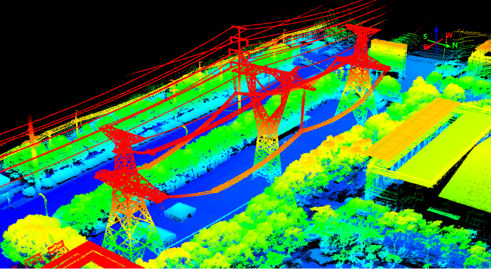
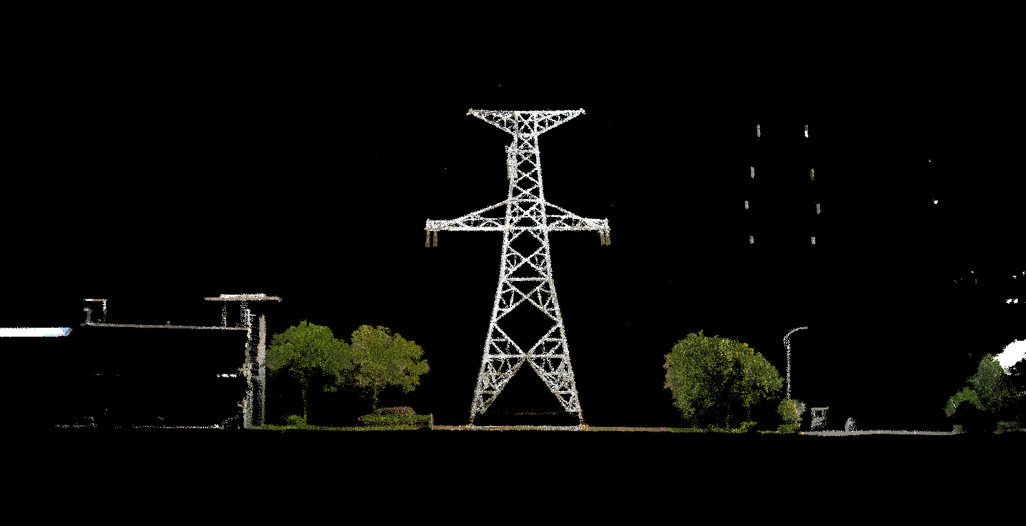
GS-260F drone LiDAR scanning system is an UAV measurement system independently developed by Geosun company. It highly integrates laser scanner, GNSS satellite positioning system, INS inertial navigation system and camera(built-in), and can quickly obtain high-precision laser point cloud number. It can be widely used in Power line,Digital city construction, Industry, Land survey, Forestry and Agriculture.


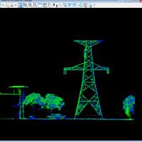
Drone LiDAR Scanning System GS-260F Application to Power line Inspection (rTK Model)


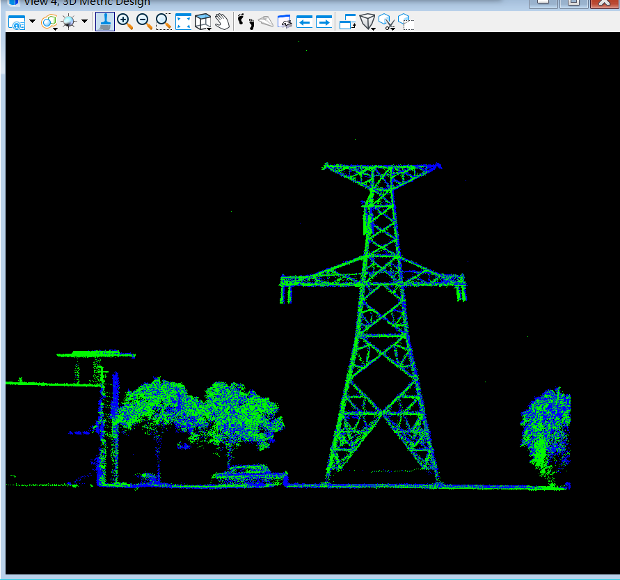
Free Trial Software Drone LiDAR Scanning System gAirHawk GS-260F

Free trial test, achieve high precision

The Guideline of LiDAR Usage and Reference.pdf

Point Cloud Pre-Processing Software Integrated With Trajectory Processing----Geosun Self-developed gAirHawk 5.0
Key Features of gAirHawk 5.0 Software
1. Raw data: intelligently load
2. Four default coordinates
3. Point cloud Optimization
4. Start and stop calculation


Drone LiDAR Scanning System gAirHawk GS-260F Specification

gAirHawk Drone LiDAR GS-260F


Item Name

System Parameters


GS-260F

Parameters

Weight

2.1kg

Measuring accuracy

Less than 0.1m@150m

Working temperature

-20℃~+65℃

Power range

12V- 24V

Consumption

10W

Carrying Platform

DJI M300, M600, GS-800, GS-850.......

Storage

64 GB storage, maximum support 128GB TF card

Lidar Unit


Measuring Range

230m@10% Reflectivity

Laser class

905nm Class1 (IEC 60825-1:2014)

Channel

40-channel

Range accuracy

±2cm (typical Value)

Scanning frequency

10HZ, 20HZ

Data

Double echo 720,000 Points/Sec

FOV

360°, adjustable

Laser sensor

HESAI Pandar40P

    POS Unit

Update frequency

200HZ

Heading accuracy

0.017°

Pitch accuracy

0.005°

Rolling accuracy

0.005°

Position accuracy

≤0.05m

GNSS signal type

GPSL1/L2/L5 GLONASSL1/L2, BDS B1c/ B1/B2/B2a/B3 GAL E1/E5a/5b

Pre-processing software

POS software

Output information: position, speed, attitude

Point cloud software

Output point cloud data format: LAS format, custom TXT format

Camera (built-in)

Effective Pixel

26 Mega Pixels

Focal Length(mm)

16

FOV

83-degree


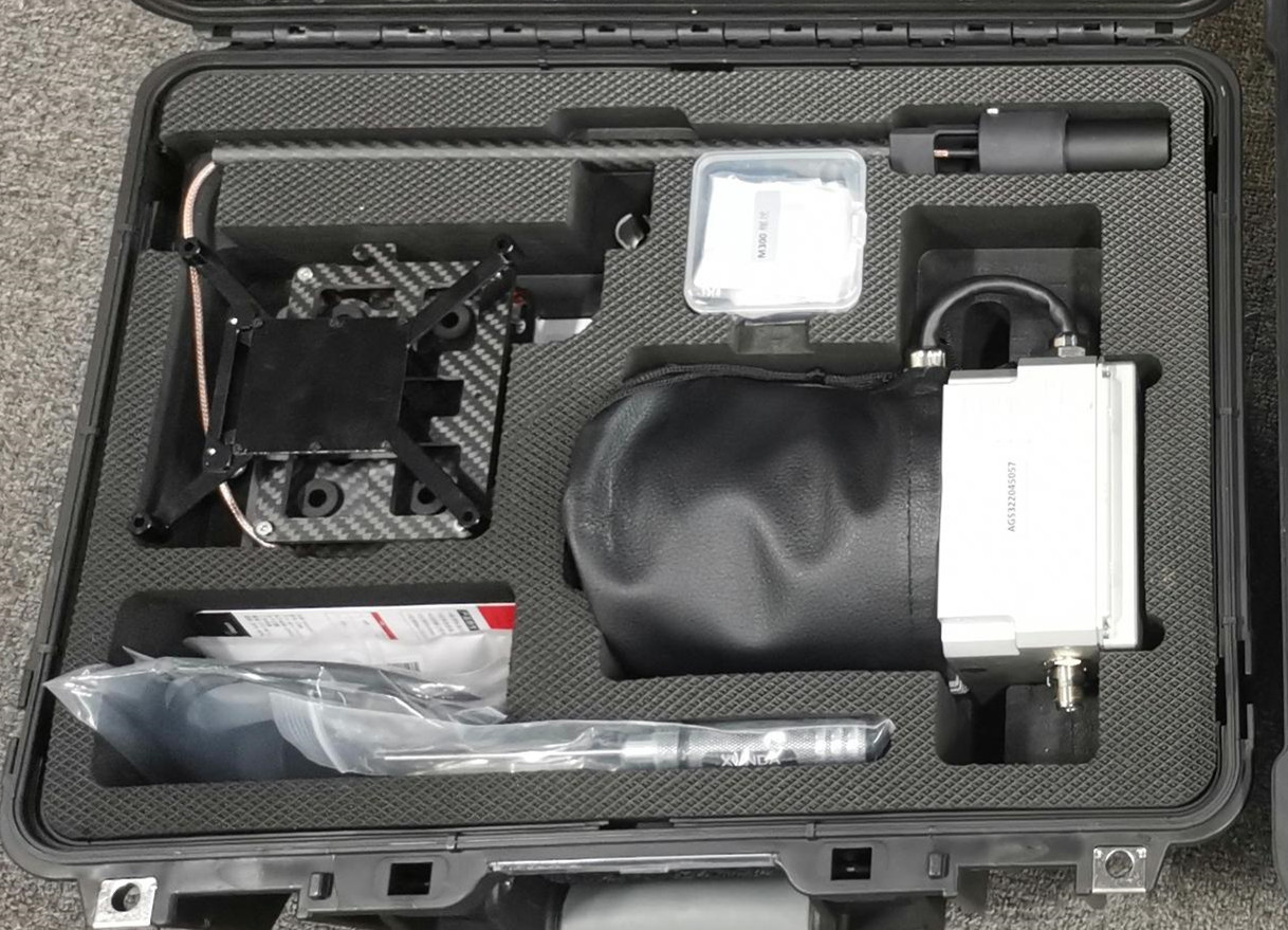
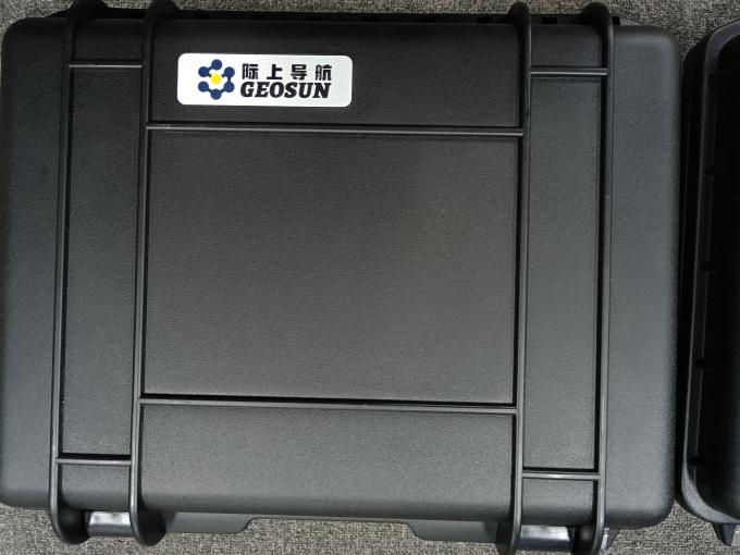
Drone LiDAR Scanning System gAirHawk GS-260F Package

Drone LiDAR Scanning System gAirHawk GS-260F is packed by suit case with EVA material liner inside, then covered by hard carton box.It is suitable for air shipment and sea shipment.


UAV LiDAR Scanning System Geosun GS-130X HESAI XT Laser Sensor 1.6k㎡ 3D Scanning Strong Penetration High Precision 3


Hot Products

GS-260F LiDAR Scanning System HESAI Pandar 40P Versatile Application RTK Model Power Line Geosun ...
GS-100M+ LiDAR System Livox Avia Laser Entry-Level 3D Data Collection Mapping Surveying Geosun ...
GS-2000N LiDAR Scanning System 7 Echos Long Detection Aerial VTOL Mapping High Accuracy Geosun ...
Geosun gAirHawk Sesries GS-130X LiDAR Scanning System Hesai XT32 Sensor Strong Penetration 360 ...
Geosun GFireEye Series GS-100G LiDAR Scanning System HESAI XT16 Slam Algorithms Under Ground Mapping ...
Geosun GAirHawk Series GS-1500N LiDAR Scanning System 8 Echos Long Detection Aerial VTOL Mapping ...