|
|
[China]

Trade Verify
Address: 4F, Building D, Tianyi plaza No.8 West Maodianshan Road, East Lake Hi-tech Zone Wuhan City, China
Contact name:Lanbooxie

Wuhan Geosun Navigation Technology Co., Ltd |
|
Verified Suppliers
|
|
|
GNSS 200m LiDAR Mobile Mapping System DJI M300 Platform
gAirHawk GS-260S is a kind of Mid-range, compact LiDAR Mobile Mapping System, integrated HESAI Pandar laser scanner, GNSS and IMU positioning and attitude determination system, and storage control unit, is able to real-time, dynamically, massively collect high-precision point cloud data and rich image information. It is widely used in the acquisition of 3D spatial information in surveying, electricity, forestry, agriculture, land planning.
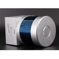
Pandar20B 20-Channel Mechanical LiDAR

Specification Of LiDAR Mobile Mapping System
| gAirHawk GS-260S LiDAR Mobile Mapping System | ||
| Item Name | System Parameters | |
Parameters | Weight | 1.9 kg (without camera) |
| Measuring accuracy | 0.1m/0.05m(@150m) | |
| Working temperature | -20℃~+60℃ | |
| Power range | 12 V- 24 V | |
| Consumption | 20 W | |
| Carrying Platform | DJI M300, M600 PRO | |
| Storage | 64 GB storage, maximum support 128GB TF card | |
Lidar Unit
| Measuring Range | 0.3m-200m@10% Reflectivity |
| Laser class | 905nm Class1 (IEC 60825-1:2014) | |
| Laser line number | 20-Beam | |
| Max. range | 200 m | |
| Mix. range | 0.3 m | |
| Range accuracy | ±5cm (@0.3m~5m), ±2cm (@0.5m~200m) | |
| Scanning frequency | 10HZ, 20HZ | |
| data | Double echo 720,000 Points/Sec | |
| FOV | 360°, adjustable | |
| Laser sensor | HESAI Pandar 20B | |
| Pre-processing software | POS software | Output information: position, speed, attitude |
| Point cloud software | Output point cloud data format: LAS format, custom TXT format | |
Application for Road Mapping

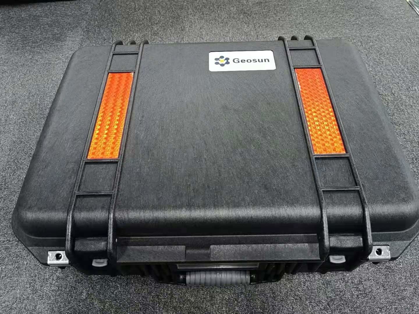
Package
It is packed by suit case with EVA material liner inside, then covered by hard carton box. It is suitable for air shipment and sea shipment.