|
|
[China]

Trade Verify
Address: 4F, Building D, Tianyi plaza No.8 West Maodianshan Road, East Lake Hi-tech Zone Wuhan City, China
Contact name:Lanbooxie

Wuhan Geosun Navigation Technology Co., Ltd |
|
Verified Suppliers
|
|
|
GGPoS is a high accuracy GPS/GLONASS/BDS/Galileo positioning and velocity determination software system, which can process measured data of single-frequency /double-frequency GPS/GLONASS/BDS/Galileo system. GGPoS can instantly provide the centimeter level precision positioning information and mm/sec level precision velocity information of the carrier phase.
With the global advanced proprietary single-epoch ambiguity resolution algorithm, as well as several sophisticated core technologies, GGPoS successfully avoids the common initialization problem and has been proven to be preeminent and robust in various application environments.
GGPoS can be widely used in a variety of applications or engineering fields, such as surveying and mapping, transportation, water, power, sea, railway, oil, aviation and so on. In addition, GGPoS is developed on the base of modular design, which greatly enables the possibility of extension and customization on the requirement of user
PPK Process
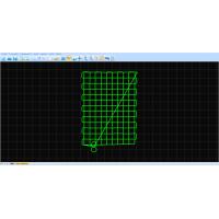
Select the Satellites and GNSS Date Decode (the .kqs file to .20o file)


The GNSS results from Shuttle (kinematic Differencial GNSS)


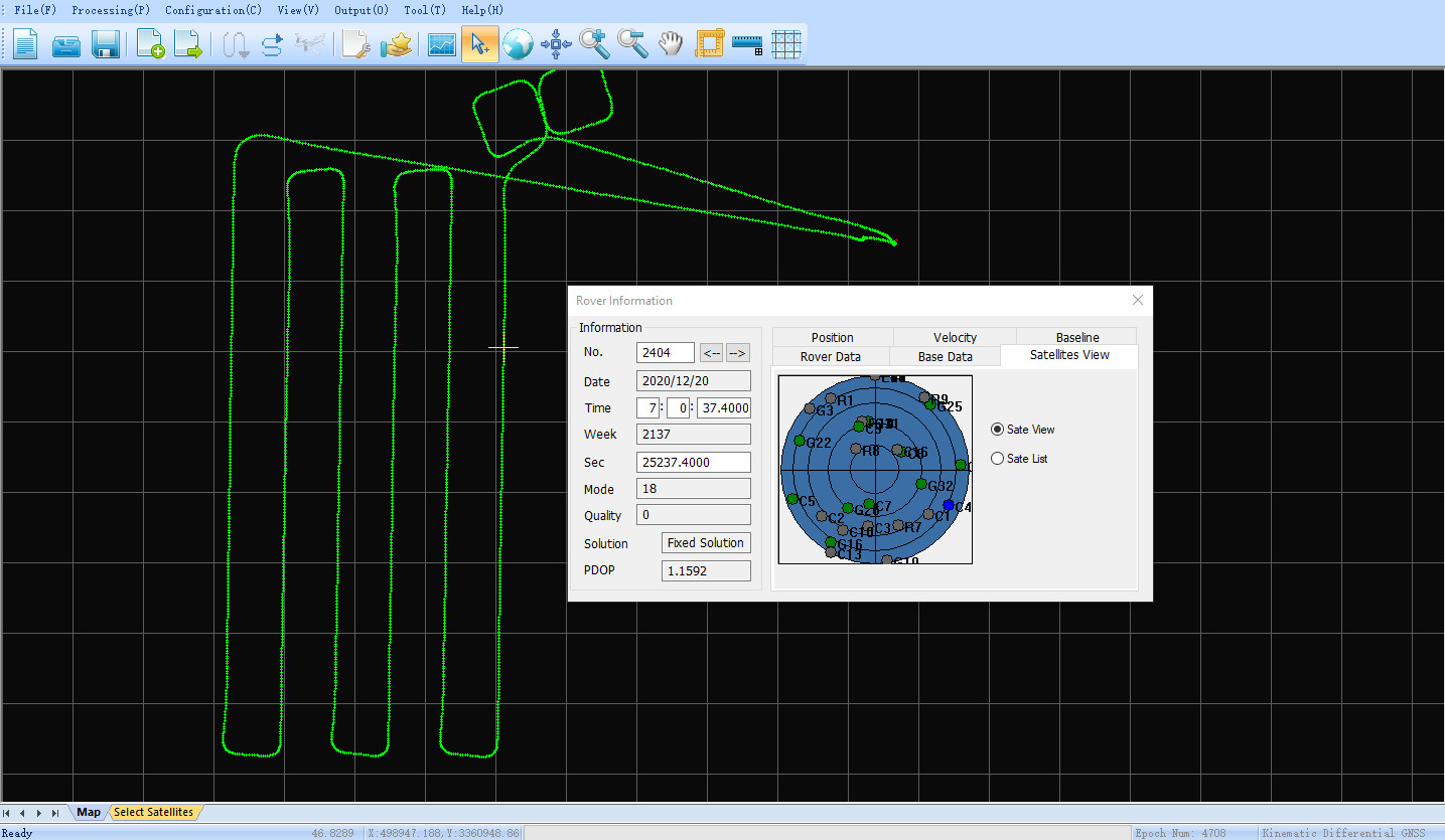
GNSS Result