Active Member
|
[China]

Address: No. 879, Ganghua Road, Hongguang Town, Pidu District, Chengdu
Contact name:admin

Chengdu Wanggan Technology Co., Ltd. |
|
|
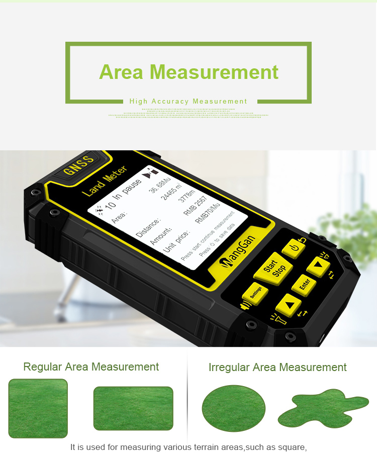
GPS Land Measurment Mountain Measurement GPS Land Survey Equipment
Area Measurment Of GPS Land Survey Equipment:
1. High accuracy measurement
2. Regular Area Measurment
3. Irregular Area Measurment
4. Its used for measuring various terrian areas, such as square, rectangle, polygone, triangle, circle, oval and other irregular terrian.
Preparations:
② Search satellite after startup,there will be voice prompt,the text on the screen indicates the status of the signal and the value of HDOP. It is recommended that the HDOP value below 1.2 start measuring.
③ After the satellite search is completed,the measurement can be carried out according to the requirements.
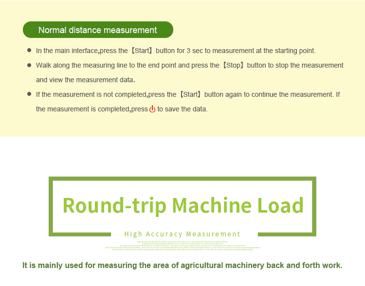
Normal area measurement:
① At the starting point,press the【start】button to measurement in the main interface.
② Return to the starting point in a circle around the ground,press the【stop】 button to pause the measurement and view the measurement data.
③ Press the “Stop” button to end measurement and save data.
Mountain area measurement:
① In the main interface,press the ▲▼to switching function to “Mountain”.
② Press the 【Start】button to measure at the top of the mountain,and press the 【Enter】 button to confirm the information.
③ Press the【Enter】button and proceed from the foot of the mountain,walk around the foot of the mountain,and back to the starting point, press the【Enter】button,then press the【Stop】button to end measure and view data;
④ press “Stop” to save the data.