Active Member
|
[China]

Address: 9F, Jintai Building, Nanping Dist, Chongqing, China
Contact name:Michelle

Chongqing Gold Mechanical & Electrical Instrument Co., Ltd. |
|
|
Jimmy Yin
Technical Specification
V90 Plus Performance Specifications
Statellite Signals Tracked Simultaneously
220 Channels
GPS:Simultaneous L1C/A, L2C, L2E, L5
GLONASS:Simultaneous L1C/A, L1P, L2C/A, (GLONASS M only), L2P
SBAS:Simultaneous L1C/A, L5
Galileo:Simultaneous L1 BOC, E5A, E5B, E5AltBOC1
BDS:B1, B2
QZSS:L1C/A, L1 SAIF, L2C, L5
POSITIONING PERFORMANCE
Static and Fast Static GNSS Surveying
Horizontal:2.5mm+0.5ppm RMS
Vertical:5mm+0.5ppm RMS
Post Processing Kinematic (PPK / Stop & Go ) GNSS Surveying
Horizontal: 1mm+1ppm RMS
Vertical: 2.5mm+1ppm RMS
Initialization time: Typically 10 minutes for base while 5 minutes
for rover
Initialization reliability: typically > 99.9%
Real time Kinematic (RTK) surveying
Single Baseline
Horizontal: 8mm+1ppm RMS
Vertical: 15mm+1ppm RMS
Network RTK
Horizontal: 8mm+1ppm RMS
Vertical: 15mm+1ppm RMS
Initialization time:typically < 8 seconds
Initialization reliability: typically > 99.9%
Code Differential GNSS Positionnig
Horizontal: 25cm+1ppm RMS
Vertical: 50cm+1ppm RMS
SBAS: 0.50m Horizontal, 0.85m Vertical
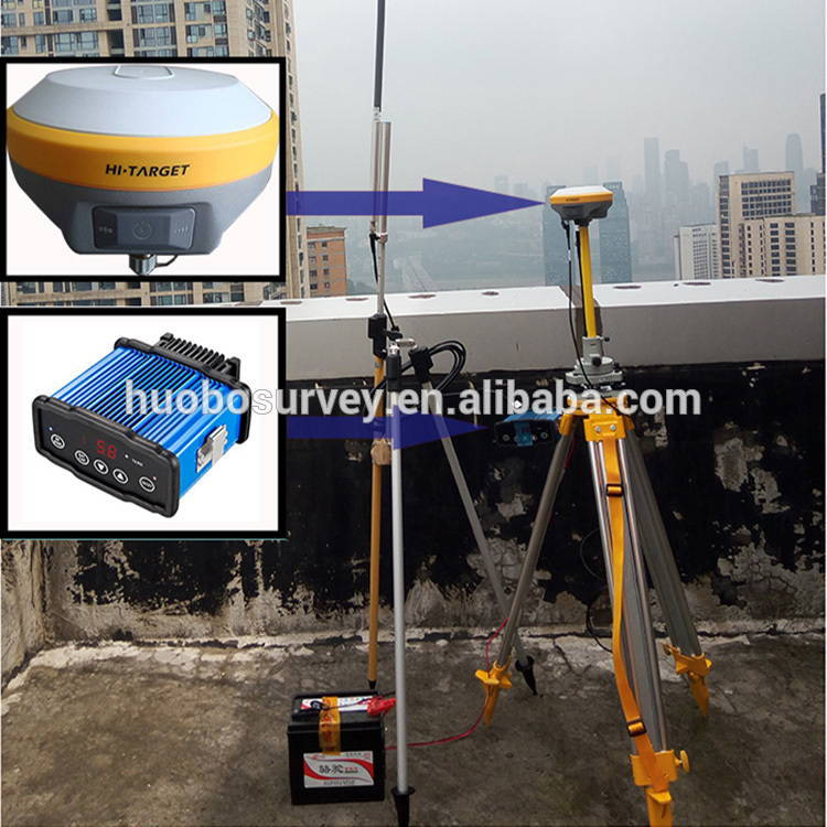
COMMUNICATION
Network Communication
Fully integrated, fully sealed internal WCDMA, compatible with GPRS, GSM
Wifi frequency is 2.4G, supports 802.11b/g/n protocol
Network RTK (via CORS) range20-50km
HI-TARGET Internal UHF Radio(Standard)
Frequency: 450~470MHz with 116 channels
Transmitting power: 1W, 2W, 5W adjustable
Transmitting speed: 9.6Kbps, 19.2Kbps
Working range:5km typical, 8~10kmoptimal
HI-TARGET External UHF Radio(Standard)
Frequency:460MHZ with 116 channels
Transmitting power:5W,10W,20W,30W adjustable
Transmitting speed:Up to 19.2Kbps
Working range:8~10km typical,15~20km optimal
HARDWARE
Physical
Dimensions(W×H): 153mm×83mm(6.02inch×3.27inch)
Weight: 950g(2.09(b)without internal battery
Operating temperature: —40℃ to+65℃(—40℉ to+149℉)
Storage temperature: —55℃ to+85℃(—67℉ to+185℉)
Humidity: 100%,considering
Water/dustproof: IP67 dustproof,protected from temporary immersion to depth of 1m(3.28ft)
Shock and vibration: Designed to survive a 3m(9.84ft) natural fall onto concrete
Electrical
Power 6V to 28V DC external power input
Power consumption≤3.5W
Automatic switching between internal power and external power
Rechargeable,removable 7.4V,5000mAh Lithium-ion battery in internal battery compartment
Internal Battery Life
Static more than 10 hours
RTK rover (UHF/GPRS/3G)6—10 hours
RTK base more than 6 hours
I/O Interface
Bluetooth, NFC ×1
standard USB2.0port ×1
TNC antenna connector ×1
RS232 serial port ×1
DC power input (5—pin) ×1
MicroSD card port ×1
Tilt Survey System
Electronic Bubble
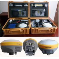
SYSTEM CONFIGURATION
SYSTEM
Data storage: 16GB internal storage+Internal Micro SD Card memory (Support up to 32GB extension)
Record GNS and Rinex format simultaneously
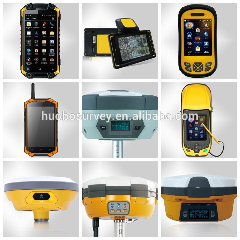
Product Features
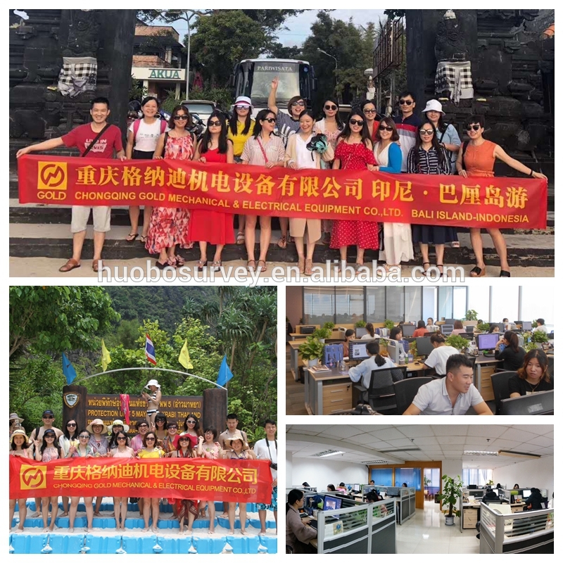
Exhibition Show

About Our Company
Chongqing Gold Mechanical & Electrical Equipment Co., Ltd is specialized in manufacturing and developing of Geophysical Exploration Instrument such as Resistivity Meter, IP Instrument, Resistivity Imaging, Seismic Instrument, Magnetic Instrument, Borehole Camera, Borehole Logger, Drilling Equipment&Accessory and Geodetic Surveying Instrument.
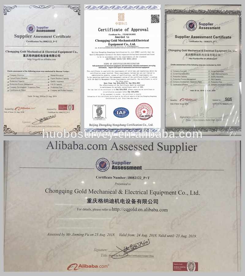
Certificate
Produst Series Show