|
|
[China]

Trade Verify
Address: 4F, Building D, Tianyi plaza No.8 West Maodianshan Road, East Lake Hi-tech Zone Wuhan City, China
Contact name:Lanbooxie

Wuhan Geosun Navigation Technology Co., Ltd |
|
Verified Suppliers
|
|
|
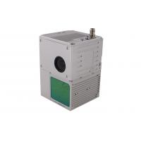
gAirHawk GS-100C+ LIDAR SCANNING SYSTEM
Mobile LiDAR Scanning System Mounted on Vehicle Integrated DJI
L1 Laser Sensor and Build-in Camera
gAirHawk GS-100C+ is a kind of light compact LiDAR point
cloud data acquisition system, integrated Livox new generation
laser scanner, GNSS and IMU positioning and attitude determination
system, and storage control unit, is able to real-time,
dynamically, massively collect high-precision point cloud data and
rich image information. It is widely used in the acquisition of 3D
spatial information in surveying, electricity, forestry,
agriculture, land planning.
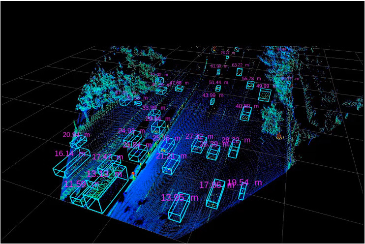
Long Detection Range
The Livox Avia adjusts its detection range according to the
intensity of ambient light, while maintaining noise at a low level.
The detection range increases to 450m under low-light conditions
(such as on a cloudy day, indoors or at night), ensuring distant
objects are captured in detail.

Dual-Scanning Mode
The use of multi-line laser and high-speed scanning enable the
Livox Avia to achieve a point cloud data rate of up to 240,000
points/s. The high performance device is equipped with both
repetitive and non-repetitive scanning modes, to meet the needs of
different scenarios.
Specification
| gAirHawk GS-100C+ | ||
| Item Name | System Parameter | |
Parameter | Weight | 1022 G |
| Measuring accuracy | Less than 10 cm (110 m AGL) | |
| Power range | 12V~16V | |
| Working temperature | -20℃~+55℃ | |
| Consumption | Average 20W | |
| Support Platform | GS-800 Multi Rotor, VTOL Fixed Wing | |
| Storage | 64 GB storage, maximum support 128GB TF card | |
Lidar Unit
| Laser Model | Livox Avia |
| Measuring Range | 190m@10% Reflectivity | |
| Laser class | 905nm Class1 (IEC 60825-1:2014) | |
| Laser line number | Equivalent to 64-beam | |
| Mix. range | 0.3 M | |
| Range Precision | 2 cm | |
| data | Triple echo, 720,000 Points/Sec | |
| FOV | 70° the circular view | |
| POS Unit | POS type | AGS 302 |
| Update frequency | 200HZ | |
| Heading accuracy | 0.040° | |
| Pitch accuracy | 0.015° | |
| Rolling accuracy | 0.015° | |
| Position accuracy | 0.02 - 0.05m | |
| GNSS signal type | GPSL1/L2/L5 GLONASSL1/L2 BDS B1/B2/B3 GAL E1/E5a/5b | |
| Pre-processing software | POS software | Output information: position, speed, attitude |
| Point cloud software | Output point cloud data format: LAS format, custom TXT format | |
| Build-in Camera | FOV | 83 Degree |
| Effective Pixel | 26 Mega Pixel | |
| Trigger event | Distance or Time trigger | |
Application for Smart City Construction

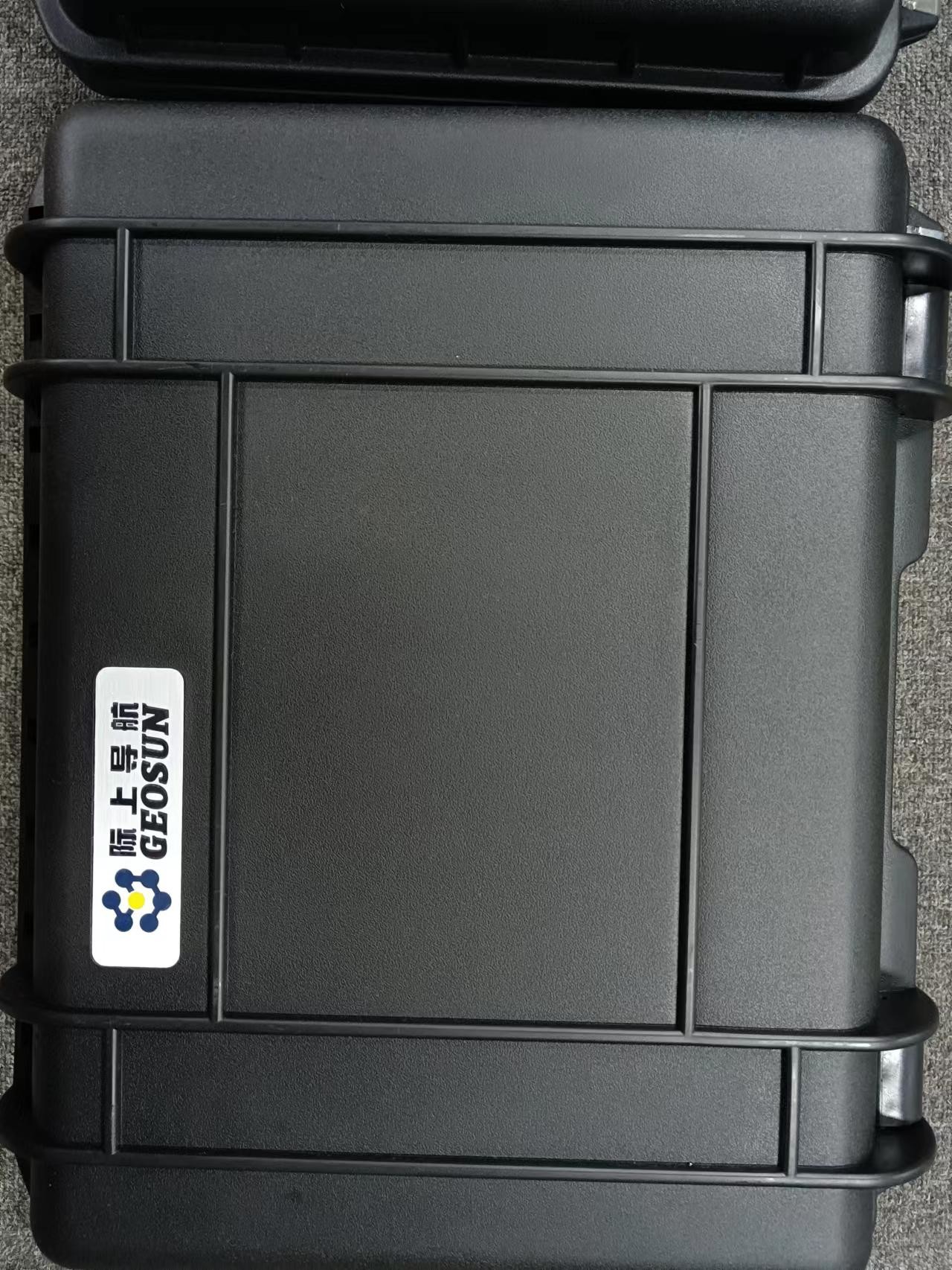
Package
It is packed by suit case with EVA material liner inside, then covered by hard carton box. It is suitable for air shipment and sea shipment.